Maps and visualisations created by the team and project interns exploring the circulation, retail, and consumption of new intoxicants in specific well-documented contexts. For more intoxicating cartography, see the interactive map at the heart of our virtual exhibition.

Hooked: Robert Hooke’s World of Intoxicants, 1672–83
James Brown, Connor Plunkett, & Agatha Yates
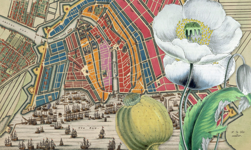
Mapping Opium in Amsterdam
Stephen Snelders & Thomas van den Brink
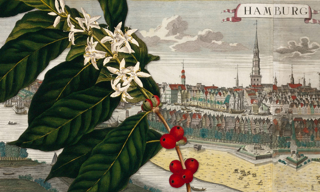
A Taste for Everyday Luxury: Mapping Tea and Coffee in Late Eighteenth-Century Hamburg
Gabrielle Robilliard & Johannes Birk
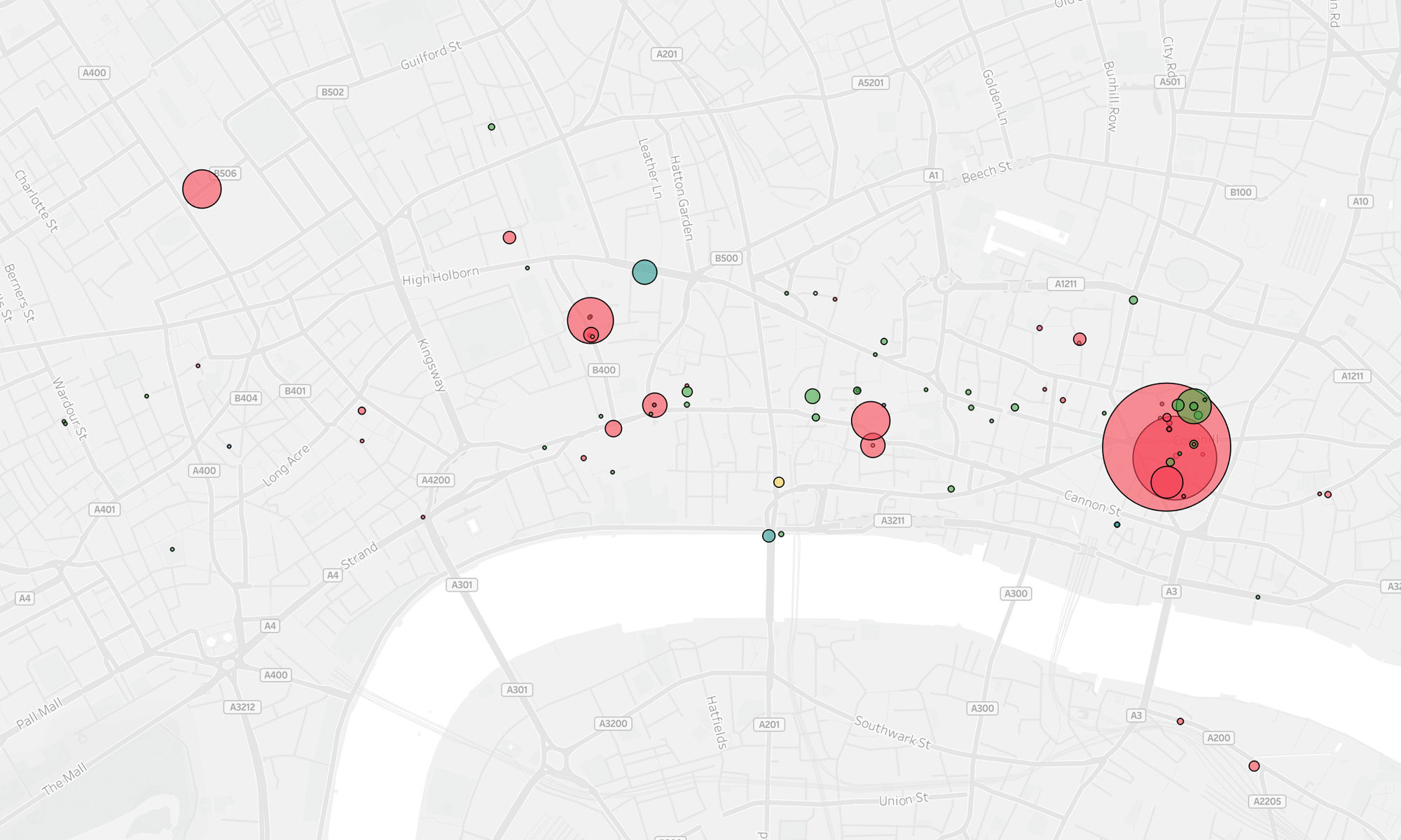
Mapping Smoking Bans in Eighteenth-Century Stockholm
Sarah Falk & Hanna Hodacs